
Day Hiking
Out and back before the sun goes down.
Getting Started
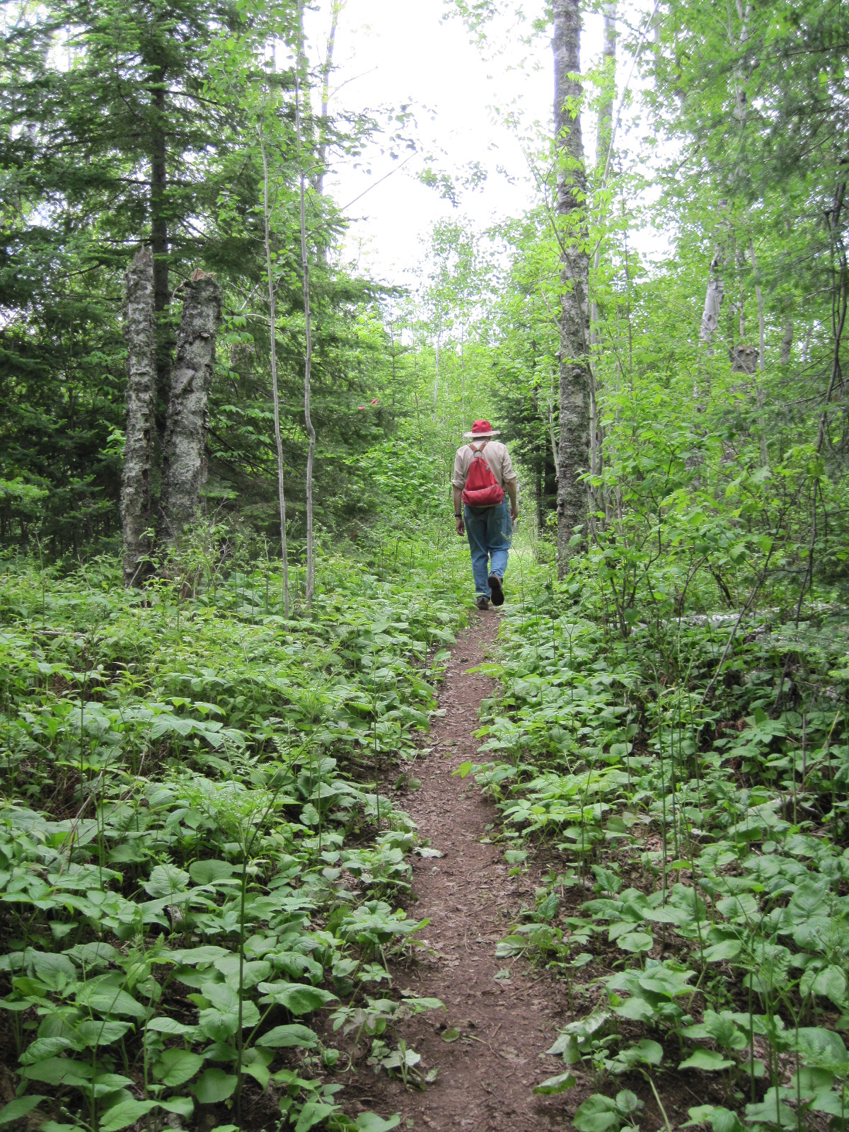
The Superior Hiking Trail is laid out in sections of 3-11 miles with a trailhead parking lot on each end of the section. Since the SHT is an end-to-end trail, there are several options for day hiking.
- Out and Back – Start at any trailhead and do half the amount of miles you want to hike and then turn around and hike back to your car. Choosing a natural feature or campsite gives you a destination goal or a great place to take a break. Don’t worry, you’ll see the Trail from a different perspective on the return trip!
- Use Two Cars – Drive both cars to your end point, leave one car, drive to your start point, do your hike, and then take the car at the end point to pick up the other car. Remember to place all valuables out of sight, lock your car, and don’t forget your keys!
- Use Public Transportation in the City of Duluth – Look for nearby Duluth Transit Authority Bus stops or make arrangements with a local taxi service for pick up or drop-off at your selected trailhead.
- Catch a Shuttle on the North Shore – Several private shuttle services operate along the Trail and provide drop-off and pick-up at SHT trailheads. Visit our Shuttles page for more information.
- Make a Loop – There are several loops on the Superior Hiking Trail that are 2-8 miles in length where you leave from one trailhead parking lot and return to the same parking lot.
- Take a Bike – If you enjoy a little biking on the back roads there are some sections where it’s possible to leave your bicycle at your end point, drive your car to your start point, do the hike, and then ride your bicycle back to your car.
- Hike in a State Park – Create your own loop routes by combining state park trails and the SHT. You’ll need a state park day use or annual sticker to park at most state parks, and some offer overnight parking — be sure to check with the park visitor center if you plan to stay overnight. Please note: there is no overnight parking allowed at state waysides.
Planning Resources
We highly recommend you purchase the Guide to the Superior Hiking Trail. This useful guide has a mile-by-mile description of the trail with information about the Trail’s route as well as scenic features along the trail. For a pocket-sized guide with mileage information and elevation profiles, you can also purchase our Superior Hiking Trail Databook. Detailed maps for the SHT are available in our online store, where you can find the guidebook, databook and more, or at select park visitor centers and local businesses.
Day Hiking Tips
- The SHT is a rugged footpath. Wear sturdy hiking boots or shoes. Carry a day pack with you that contains beverages, snacks, insect repellent, rain gear, first aid kit, headlamp and an extra layer of clothing. Many hikers find trekking poles helpful especially on steep descents.
- Always carry a map of your route with you. Make sure to pay attention as you hike along so if you become confused you know where you last were on the map. In general you don’t need a compass to hike on the Trail. However, it’s a good idea to carry one and check it after you leave an overlook to make sure you’re hiking in the right direction. Even experienced hikers can get confused.
- Most trailhead parking lots have no facilities. Day hikers are encouraged to use the back-country latrines found at designated campsites. If you do need to relieve yourself while you are hiking move away from water, campsites, and trails. To deposit human waste, dig a hole 3-6 inches deep. Cover and disguise the hole when finished. Pack out toilet paper and sanitary products.
On The Trail
- Trailhead signs give basic mileage information including distances to campsites and the next trailhead.
- The entire Trail is marked with blue paint blazes or SHT logo signs. In areas that are blazed, a turn in the Trail is marked by two blue paint blazes with the higher blaze indicating the direction the Trail turns. White paint blazes mark spur trails to and from the main SHT or to overlooks. If you pay attention to the blazes and signs you should have no difficulty staying on the Trail.
- While the SHT is largely on public land, the Trail goes across many parcels of private land. Many of these properties are not marked as private land. Respect private landowners’ rights by staying on the Trail.
Questions?
Contact us at [email protected].
 100vw, 1200px" />)